

How Reverse Image Location Works
Upload a photo — a street scene, a screenshot, any image without GPS metadata — and Reverse Image Location (branded on its homepage as GeoSolver) sets an AI vision model to work on it. According to the official site, the platform runs on Gemini 3.1 Pro, a vision model the company says is trained on millions of geographic data points.
What makes the approach interesting is that it does not simply return a coordinate and ask you to trust it. Instead, it systematically works through dozens of what the GeoGuessr community calls “meta clues”: the generation of the Google Street View camera visible in a screenshot, the specific design of traffic bollards on a roadside, utility pole configurations, road marking styles, vegetation types, architectural details, license plate formats, and shadow angles. Each clue narrows the search space, and the tool presents its reasoning chain so you can follow — and challenge — its logic.
There is also a dedicated upload-first workflow built for photos, screenshots, and pictures stripped of EXIF/GPS data, while the homepage serves as the broader GeoSolver hub. No EXIF analysis is required; the system works purely from visible pixels, which matters because most images circulating online — social media posts, news photos, screenshots — have had their metadata stripped long ago.
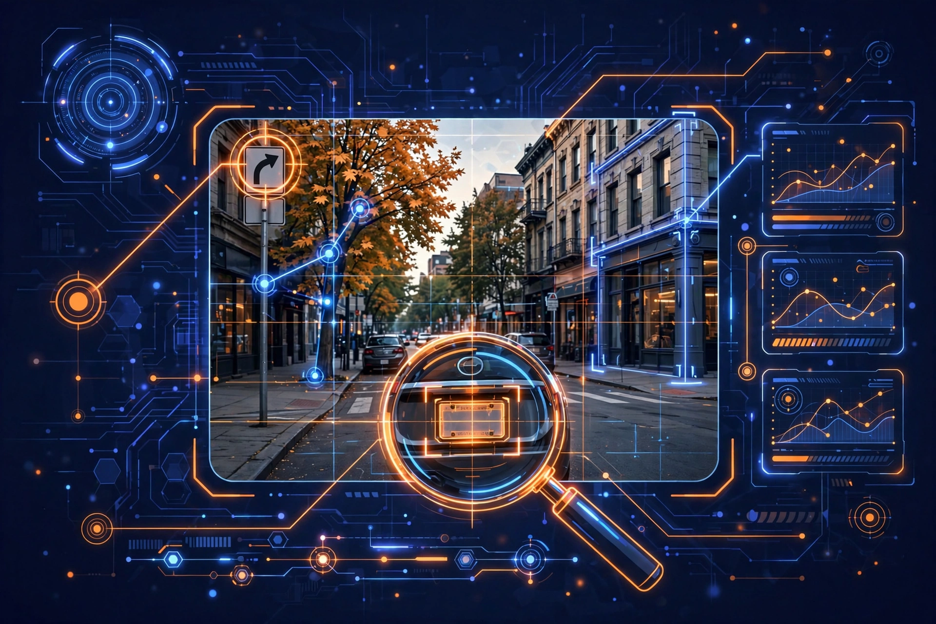
The output is a location hypothesis: a suggested country, region, and in strong cases a much tighter area, accompanied by the clue-by-clue reasoning that led there. The official site claims a 99.2% accuracy rate at the country-identification level. Treat vendor accuracy claims the way you would any vendor claim — as a starting point for your own testing, not as gospel. Country-level identification is also a much easier task than pinpointing a street; the honest measure of any geolocation tool is how it performs on ambiguous images with few distinctive clues, and that is where independent verification becomes non-negotiable.
In practice, a typical session looks like this: you upload the image, wait for the analysis to process the visual evidence, and receive a structured breakdown — detected clues grouped by category (infrastructure, vegetation, signage, architecture), each with a short explanation of what it suggests geographically, followed by the ranked location hypotheses. The free preview shows you the key clues the model found, which is genuinely useful triage: if the preview surfaces nothing distinctive, you know immediately the image is a weak candidate. If it surfaces strong indicators, upgrading unlocks the full reasoning chain and map access for the verification stage. The whole loop — upload, preview, decide — takes a couple of minutes, which is why it fits naturally at the front of an OSINT workflow before heavier AI tools come into play.
Reverse Image Location vs Alternatives
The AI geolocation space has a clear price ladder, and understanding it helps place this tool correctly.
GeoSpy is the best-known enterprise option, with reported pricing around $499/month. It targets law enforcement, corporate investigators, and well-funded newsrooms. Its pitch is depth and precision at professional scale. If your budget stretches there and you need maximum capability, it remains the reference point — but for most independent researchers, the price is prohibitive.
Picarta sits in the middle ground, another established AI geolocation service frequently mentioned alongside GeoSpy. It offers a balance of capability and cost for regular professional use.
Reverse Image Location undercuts both substantially, with third-party listings suggesting paid tiers from roughly $5.83/month (annual billing) to around $69/month. That is not a small difference — it is an order of magnitude. The trade-off is transparency and track record: GeoSpy and Picarta are established names with documented enterprise adoption, while GeoSolver is a 2025 startup whose exact plan quotas are not publicly detailed.
For free or near-free alternatives, traditional reverse image search (Google Images, TinEye) answers a different question — “where else does this image appear online?” rather than “where was this taken?” — so it complements rather than replaces AI geolocation. In a serious workflow you would use both: reverse image search to find prior publication, AI geolocation to analyze the scene itself.
The bottom line on positioning: if you need the deepest capability and have institutional budget, evaluate the enterprise tier. If you need explainable, affordable geolocation for training, triage, and lead generation, Reverse Image Location is the pragmatic pick — with the caveat that you should verify its output quality on your own test images before relying on it.
Key Capabilities
Clue-by-clue visual reasoning. The core differentiator. Rather than a black-box answer, you get an itemized analysis of the geographic indicators the model detected — signage language, road infrastructure, vegetation zones, architectural styles — each tied to the conclusion. For training and verification workflows, the explanation is more valuable than the answer.
Meta-clue detection. The platform is explicitly tuned to the subtle signals experienced geolocators use: Google camera generations, bollard and pole designs, license plate formats. These are the details that separate a plausible guess from a defensible hypothesis.
No-GPS image support. Purpose-built for images without location metadata — screenshots, social media saves, scanned photos. If the pixels contain geographic information, the tool attempts to extract it.
Map-ready output. Full analyses include map access on paid plans, letting you move directly from hypothesis to verification against satellite imagery and street maps.
Multilingual interface. Listings show support for English, French, Chinese, Polish, and German, reflecting an international user base spanning OSINT communities and gaming.
Learning-oriented design. The official site positions the tool as a tutor rather than an oracle: it explains the “why” behind each identification so users build their own pattern-recognition skills over time.
Real-World Use Cases
OSINT verification
This is the tool’s natural home. Open-source intelligence investigators routinely need to verify where a photo or video was taken — for fact-checking, conflict monitoring, or due-diligence research. Reverse Image Location fits the standard OSINT workflow: generate a hypothesis from visual evidence, then corroborate it with independent sources (satellite imagery, reverse image search, shadow analysis, additional media from the claimed location). The OSINT Newsletter’s tools directory lists it specifically for lawful OSINT image verification and geography research, with the explicit guidance that results are hypotheses to be cross-checked — exactly the right framing.
Journalism and fact-checking
Newsrooms verifying user-generated content face the same problem: a dramatic photo arrives with a claimed location and no metadata. A fast, affordable geolocation pass can confirm whether the visual evidence is even consistent with the claim before committing expensive field resources. At a fraction of enterprise tool pricing, this is accessible to freelance journalists and small desks.
GeoGuessr training
The GeoGuessr community is arguably the most demanding audience for this technology — players who can identify countries from a single blurry road sign. The official site leans into this, framing the tool as a training aid that teaches meta-clue recognition rather than a cheating device. It explicitly advises competitive players to check tournament rules, which is the responsible position: most serious competitions prohibit AI assistance during play.
Geography education
For students and self-learners, the explained reasoning turns every analysis into a lesson in physical and human geography — why certain vegetation grows in certain zones, how road infrastructure differs by country, how architectural styles map to regions. It is a genuinely engaging way to learn.
Travel and location research
Travel researchers, content creators scouting locations, and the simply curious can use it to identify places spotted in films, social media, or old family photos.
Accuracy and Limitations — An Honest Assessment
Let us be direct about what this tool is and is not.
What it is: a hypothesis generator with unusually transparent reasoning, built on a capable vision model, at a price point far below enterprise alternatives like GeoSpy (reportedly around $499/month). For triage, training, and lead generation, that combination is compelling.
What it is not: standalone proof of anything. Every serious source — including the tool’s own positioning and the OSINT community’s standards — agrees: AI geolocation output must be independently verified. A 99.2% country-accuracy claim, even if accurate in the vendor’s testing, tells you little about performance on your specific hard cases: night shots, interiors, heavily cropped images, or regions with sparse training data.
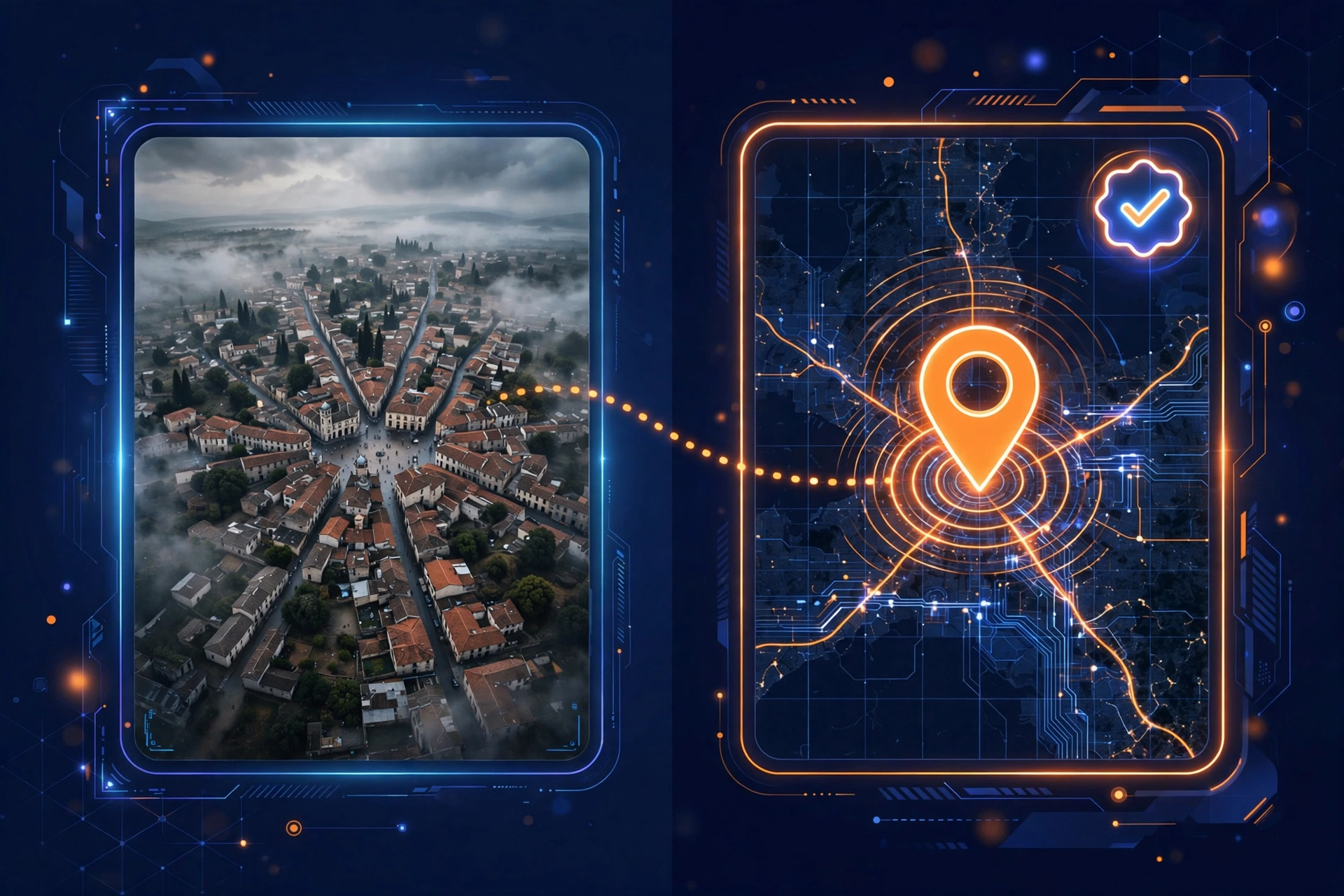
Other honest limitations: the company is young (founded 2025, based in Hong Kong), so there is limited long-term track record; pricing tiers are not transparently published and third-party listings disagree on exact figures ($5.83–$69/month range reported); and pinpoint accuracy will always depend heavily on image quality — clear Street View-style images with multiple indicators work best, while ambiguous images will produce appropriately uncertain results.
There is also a question of data handling worth raising for professional users. Any image you upload is processed on someone else’s servers, by a young company, under terms you should read before uploading sensitive material. For public or low-sensitivity images this is a non-issue; for active investigations involving vulnerable people or confidential sources, review the privacy policy first and consider whether the image truly needs to leave your machine. This is standard diligence for any cloud AI tool, not a specific red flag — but it is diligence worth doing.
The responsible way to use it: treat every output as a lead, verify with maps and satellite imagery, and never cite an AI geolocation result as evidence on its own. A practical verification checklist looks like this: (1) confirm the suggested region against at least two independent map sources; (2) check satellite imagery for the specific features cited (road layouts, distinctive buildings, terrain); (3) run a reverse image search to rule out prior publication or misattribution; (4) look for corroborating media from the same claimed event or place. If the AI hypothesis survives all four, you have something worth reporting — and the AI did its job as the starting point, not the conclusion.
Pricing Explained
Reverse Image Location follows a freemium model. You can preview key location clues without paying, which is enough to judge whether the tool is useful for your use case. Full location details, the complete reasoning chain, and map access require a premium plan.
Exact pricing is the murkiest part of the picture. The official site gates plan details, while third-party directories report subscription pricing somewhere between roughly $5.83/month (annual billing) and $69/month. That is a wide range, and you should confirm current tiers at reverseimagelocation.com before committing — pricing pages change, and this review will be updated when firmer numbers are available.
For context, that range still sits well below enterprise-grade alternatives, which is precisely the market gap this tool occupies: professional-ish capability at prosumer prices. An account is not required for public information pages, but full analysis and history do require signup.
One practical tip: start with the free preview on 5–10 of your own test images — ideally ones where you already know the answer — before paying. This gives you a calibrated sense of the tool’s strengths and blind spots on your specific image types. If the preview consistently surfaces meaningful clues on your material, the paid plan is a reasonable investment; if it struggles, you have saved yourself the subscription. Because plan quotas are not publicly detailed, also confirm what “fuller usage” actually means in practice (monthly analysis limits, image caps) before choosing a tier — the cheapest plan that covers your volume is the right one.
Who Should Use It?
OSINT researchers and investigators who need fast, explainable first-pass geolocation and understand the verify-everything discipline. If you already work with satellite imagery and reverse image search, this slots in as the rapid-triage step at the start of the pipeline. Journalists and fact-checkers triaging user-generated content on a budget — particularly freelancers and small desks that cannot justify enterprise tooling. GeoGuessr players looking to train their meta-clue recognition (not to cheat in competitions — check your tournament’s rules). Geography students and educators who want an interactive learning tool that makes physical and human geography tangible. Travel researchers and the curious identifying places from photos where metadata is long gone.
Who should skip it: anyone needing courtroom-grade, standalone geolocation evidence (no AI tool provides that); teams requiring batch processing of thousands of images (no batch workflow is advertised); and users uncomfortable with a young vendor holding their uploaded images — check the privacy terms before uploading sensitive material.
Verdict
Reverse Image Location (GeoSolver) is one of the most practical affordable options in AI geolocation right now. Its explained, clue-by-clue reasoning is exactly what separates a useful investigative aid from a black-box guesser, and the free preview lets you evaluate it honestly before spending anything. Just go in with the right expectations: verify every output independently, confirm pricing on the official site before subscribing, and treat it as what it is — a fast, affordable hypothesis engine for people who do the real verification work themselves.
To compare it against other categories of AI tools, or to see head-to-head battles, browse our AI comparisons.
Quick Answer
Reverse Image Location (GeoSolver) is an AI tool that estimates where a photo was taken by analyzing visual clues — road markings, vegetation, architecture, signage, and shadows — using a vision model (Gemini 3.1 Pro, per the official site). It is designed for OSINT verification, journalism, and geography learning. Results are location hypotheses, not standalone proof, and should always be cross-checked with maps and satellite imagery. A limited free preview is available; full analysis requires a paid plan.
What Could Make Reverse Image Location Better?
- Publish transparent, up-to-date pricing tiers on the main site instead of gating them behind signup.
- Add batch/upload-multiple analysis for investigators working through large image sets.
- Provide confidence scores per hypothesis so users know which leads deserve the most verification effort.
Reverse Image Location Pricing in 2026
Use this optional table to present billing periods, promotional prices and regular prices.
| Billing period | Promo price | Regular price | Billed as |
|---|---|---|---|
| Free preview | $0 | Preview key location clues before upgrading; limited analysis | |
| Paid plan (monthly, reported) | ~$9/mo | Full location details, complete clue-by-clue reasoning, map access | |
| Paid plan (higher tiers, reported) | up to ~$69/mo | Higher usage limits (exact quotas: verify on official site). Note: third-party listings report subscription pricing roughly between $5.83/month (annual billing) and $69/month — confirm current plans at reverseimagelocation.com before subscribing. |
| Best for | Main use | Pricing model | Platforms |
|---|---|---|---|
| OSINT researchers & journalists | AI photo geolocation | Freemium | Web |
Our Verdict on Reverse Image Location
Reverse Image Location fills a genuine gap between casual reverse-image search and expensive enterprise geolocation platforms. Its clue-by-clue reasoning is the standout feature — instead of a bare coordinate, you get an explanation you can actually verify, which is exactly what OSINT work demands. The free preview is genuinely useful for triage, though serious users will need a paid plan. The honest caveats: it is a young company (founded 2025), exact paid tiers are hard to pin down without signing up, and outputs remain hypotheses that require independent confirmation. For journalists, researchers, and GeoGuessr trainers who need affordable, explainable geolocation, it is one of the most practical options available right now.
Reverse Image Location Capabilities
Key capabilities of Reverse Image Location for AI-assisted photo geolocation.
Clue-by-Clue Visual Reasoning
Instead of a bare coordinate, the tool itemizes every geographic indicator it detected — signage, bollards, vegetation, road markings — and ties each to its conclusion, so you can audit the logic.
Meta-Clue Detection
Tuned to the subtle signals experts use: Google camera generations, utility pole designs, license plate formats, and traffic bollard styles that narrow a location dramatically.
No-GPS Image Analysis
Purpose-built for screenshots, social media saves, and scanned photos with stripped metadata; works purely from visible pixels with no EXIF required.
Map-Ready Verification Output
Paid plans include map access, letting you move straight from hypothesis to cross-checking against satellite and street-level imagery.
Multilingual Platform
Interface available in English, French, Chinese, Polish, and German, serving an international OSINT and gaming community.
Reverse Image Location Use Cases
Practical ways people use Reverse Image Location for OSINT, training, and research.
OSINT Image Verification
Generate location hypotheses for photos in investigations, then corroborate with satellite imagery and reverse image search per standard OSINT tradecraft.
Journalism Fact-Checking
Triage user-generated content fast: check whether a photo's visual evidence is even consistent with its claimed location before committing resources.
GeoGuessr Skill Training
Learn meta-clue recognition from explained analyses; designed as a tutor for pattern recognition, not a competition cheating device.
Geography Education
Turn every analysis into an interactive lesson on vegetation zones, infrastructure differences, and regional architecture.
Travel and Location Research
Identify filming locations, social media spots, or places in old family photos when no metadata survives.
Reverse Image Location Pros And Cons
A balanced snapshot of where this tool wins and where it falls short.
Explained, clue-by-clue reasoning you can actually verify — not a black-box answer
Genuinely useful free preview before any payment
Affordable compared to enterprise geolocation platforms
Purpose-built for no-GPS/metadata-stripped images
Honest positioning as a learning and hypothesis tool, not an oracle
Outputs are hypotheses, not proof — independent verification always required
Young company (founded 2025) with limited long-term track record
Pricing tiers not transparently published; exact quotas unclear without signup
Pinpoint accuracy depends heavily on image quality and clue density
No advertised batch-processing workflow for large image sets
Questions everyone eventually asks.
Clear answers to common questions people ask before choosing this AI tool.
Partially. You can preview key location clues without paying, which is enough to evaluate the tool. Full location details, complete reasoning, and map access require a paid plan.
The official site claims 99.2% accuracy at country identification using its Gemini 3.1 Pro vision model. Treat vendor claims cautiously: country-level is the easy task, and pinpoint accuracy depends heavily on image quality. Always verify results independently.
Yes — it is listed in OSINT tool directories specifically for lawful image verification workflows. It fits the standard process: generate a hypothesis from visual clues, then cross-check with maps, satellite imagery, and reverse image search. Never treat its output as standalone proof.
According to the OSINT Newsletter's tools directory, it was founded in 2025 by 'Andy' and is based in Hong Kong. It is an independent tool, not affiliated with GeoGuessr or any game platform.
No account is needed for public information pages and previews. Full analysis features and history require signing up.